Comparing the Different Mountaineering Routes on Mont Blanc
Mont Blanc, the majestic peak standing at 4,810 meters (15,781 feet), is the highest mountain in the Alps and a dream destination for many mountaineers.
Despite the impacts of climate change pushing the mountaineering season on one of the continent’s most popular mountaineering destinations forward into the late spring, the iconic peak remains enduringly popular.
An estimated 20,000 to 30,000 people attempt to climb Western Europe’s highest peak each year, with up to 200 people reaching the summit each day during the peak months.
With its breathtaking beauty and challenging terrain, Mont Blanc offers several routes for climbers to reach its summit, each of which possesses its own charms and challenges.
While most of the traffic comes from Chamonix on the French side of the border, plenty of climbers opt to stay in Courmayeur, Italy, and climb from the southeast.
Keep reading the descriptions below to determine which of the four main routes to the summit is best for you and your mountaineering goals.
Climb Mont Blanc with a certified guide

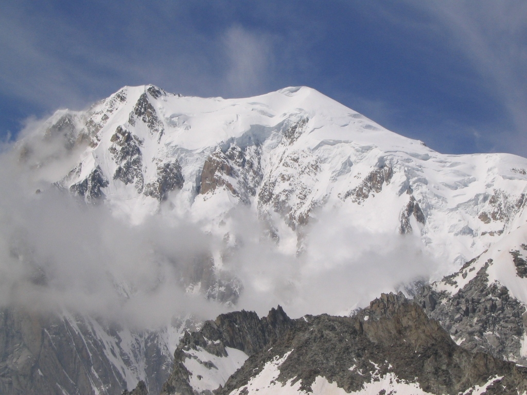
View of Mont Blanc from Helbronner.
In recent years, hot and dry weather has resulted in significant glacial retreat on Mont Blanc and made several routes, especially the most popular Goûter Route, prone to rockfalls, especially later in the season.
As a result of this emerging challenge, along with all the usual mountaineering challenges, it is highly recommended to climb Mont Blanc with a certified mountain guide.
Climbing with a mountain guide provides the best chance of successfully making it to the summit.
Certified local guides know the terrain and usual climate conditions for the time of year, so they are best equipped to make good decisions, especially in challenging moments.
Furthermore, guides can help with the logistics by making the necessary reservations and securing all the permits. They are usually social people and will add to the enjoyment of the trip with their local knowledge of the mountain and stories of their experiences.
At a Glance
|
Route |
Starting Point |
Elevation Gain |
Distance (one way) |
Difficulty |
|
Goûter |
Les Houches |
2,400 m |
9 km |
PD |
|
Trois Monts |
Chamonix |
1,300 m |
8 km |
AD/D |
|
Grands Mulets |
Chamonix |
2,500 m |
11 km |
PD+ |
|
Aiguilles Grises |
Courmayeur |
3,200 m |
15 km |
PD+ |
Goûter Route
The Goûter Route, also known as the normal route, is the most popular and frequently chosen way to climb Mont Blanc.
The ascent begins from the Bellevue cable car, which takes riders from Les Houches to the Tramway du Mont Blanc and on to Nid d’Aigle at 2,372 metres (7,782 feet).
After disembarking, the real fun begins with 5 hours of hiking and scrambling to the Goûter Refuge at 3,817 metres (12,523 feet).
Most of the ascent is fairly easygoing. However, after reaching the Grand Couloir, the landscape begins to transform, and the last 550 metres (1,804 feet) to the hut require sustained scrambling.
The ascent continues with an early start on the second day, with much of the route going over glaciated terrain and requiring crampons, ropes and harnesses. Most of the route follows a modest slope upward past the Vallot Hut and onto the Bosses ridge.
The ridge is long and exposed. The 4-hour traverse requires competent crampon use and plenty of concentration before climbers arrive at the summit.
After soaking in the view, most climbers either descend via the same route or go down via Aiguille du Midi on the opposite side of the massif.
Trois Monts Route

Traversing the Mont Blanc du Tac and Mont Maudit summits before arriving at the top of Mont Blanc, the Trois Monts Route is one of the Alps’ – if not the world’s – most iconic alpine climbing routes.
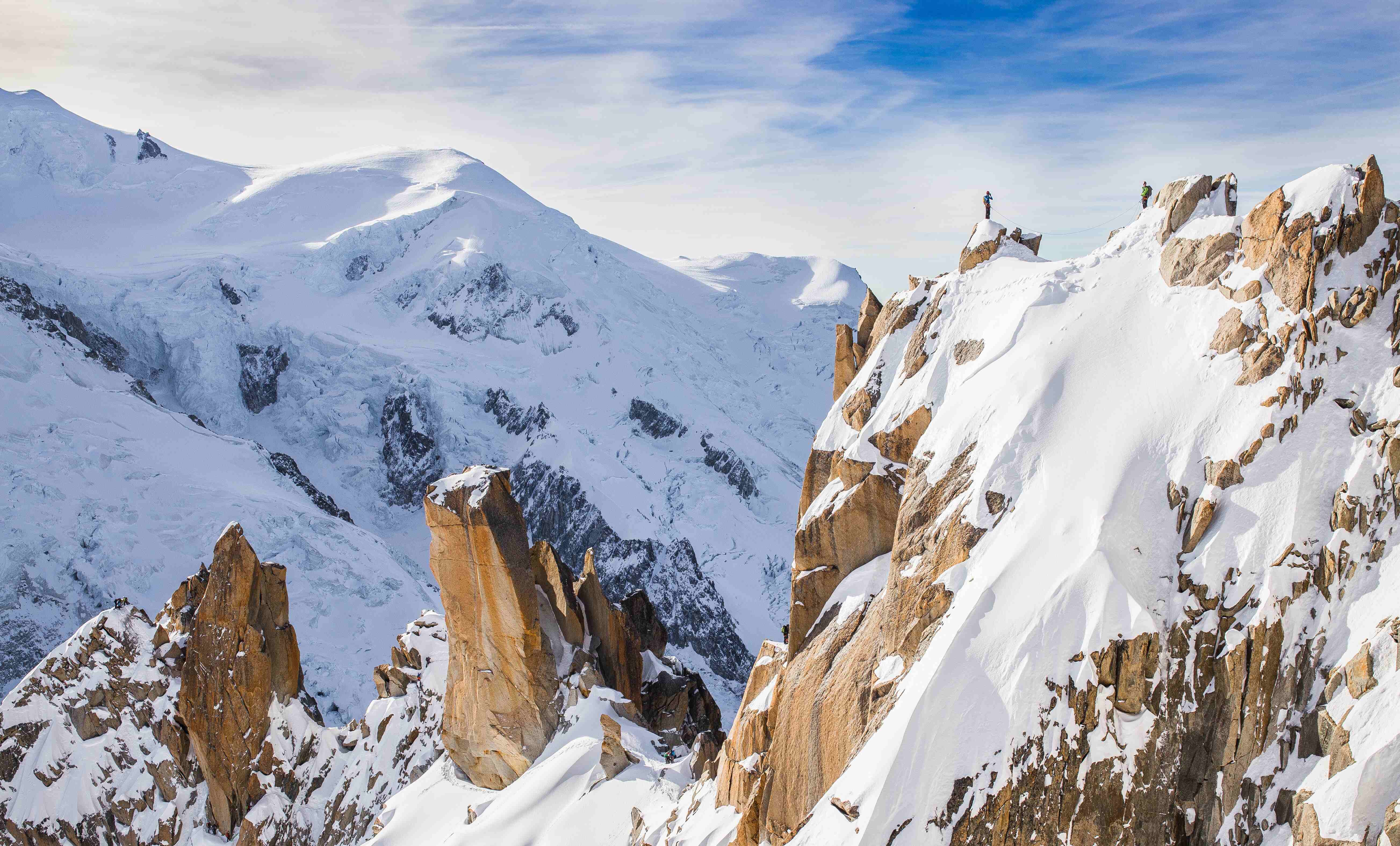
The route begins with a cable car ride from Chamonix to Aiguille du Midi at 3,842 metres (12,605 feet). From here, climbers descend the Aiguille du Midi arête to the glacier du Tacul and continue along simpler terrain for about an hour before arriving at the Cosmique Refuge at 3,613 metres (11,854 feet).
Summit day, which is the longest for all Mont Blanc’s routes, begins shortly after midnight while the snow is compact and the risk of avalanches is considerably lower.
The climb begins from the hut to the shoulder of Mont Blanc du Tacul. The ascent is steep and exposed, especially in warmer years when more crevasses form on the glacier.
After arriving at the shoulder, climbers descend and cross the Col du Mont Maudit before climbing a long snow slope to a more difficult portion requiring ice axes and technical front pointing where bottlenecks can form.
Once beyond the bottleneck, the route descends to Col de la Brenva and climbs the last few hundred metres to the top of Mont Blanc. Overall, it takes about six hours from the hut to the summit.
After enjoying the views from the top, most climbers descend the same way or via the Goûter Route.
The Trois Monts Route is more technically and physically challenging than the Goûter Route but is less crowded and provides unique views.
Grands Mulets Route

For people who want to celebrate the century-old tradition of ski mountaineering on Mont Blanc, then the Grands Mulets Route is the perfect option.
Starting from Chamonix, the route follows the trailblazing path taken by Jacques Balmat and Michel-Gabriel Paccard in their 1786 ascent of the peak.
While the Savoyard mountaineers – at the time, Chamonix was part of the Duchy of Savoy in the Kingdom of Sardinia – made their ascent in August, climate change has forced authorities on the French side of the mountain to only allow permits from April to June.
The route begins with a cable car ride up to the Plan de l’Aiguille and is followed by a long traverse around the bottom of the Aiguille du Midi to a natural junction. At the junction, the route takes climbers onto the Bossons glacier and onto the Grands Mulets Hut at 3,051 metres (10,010 feet).
Getting an alpine start the following morning, the ascent continues along the north side of the Dome du Goûter until climbers arrive at the Vallot Hut. From here, the route joins the Goûter Route to the summit.
From the top, climbers can either ski back down via the Grand Mulets Route or descend via the Goûter Route.
Aiguilles Grises

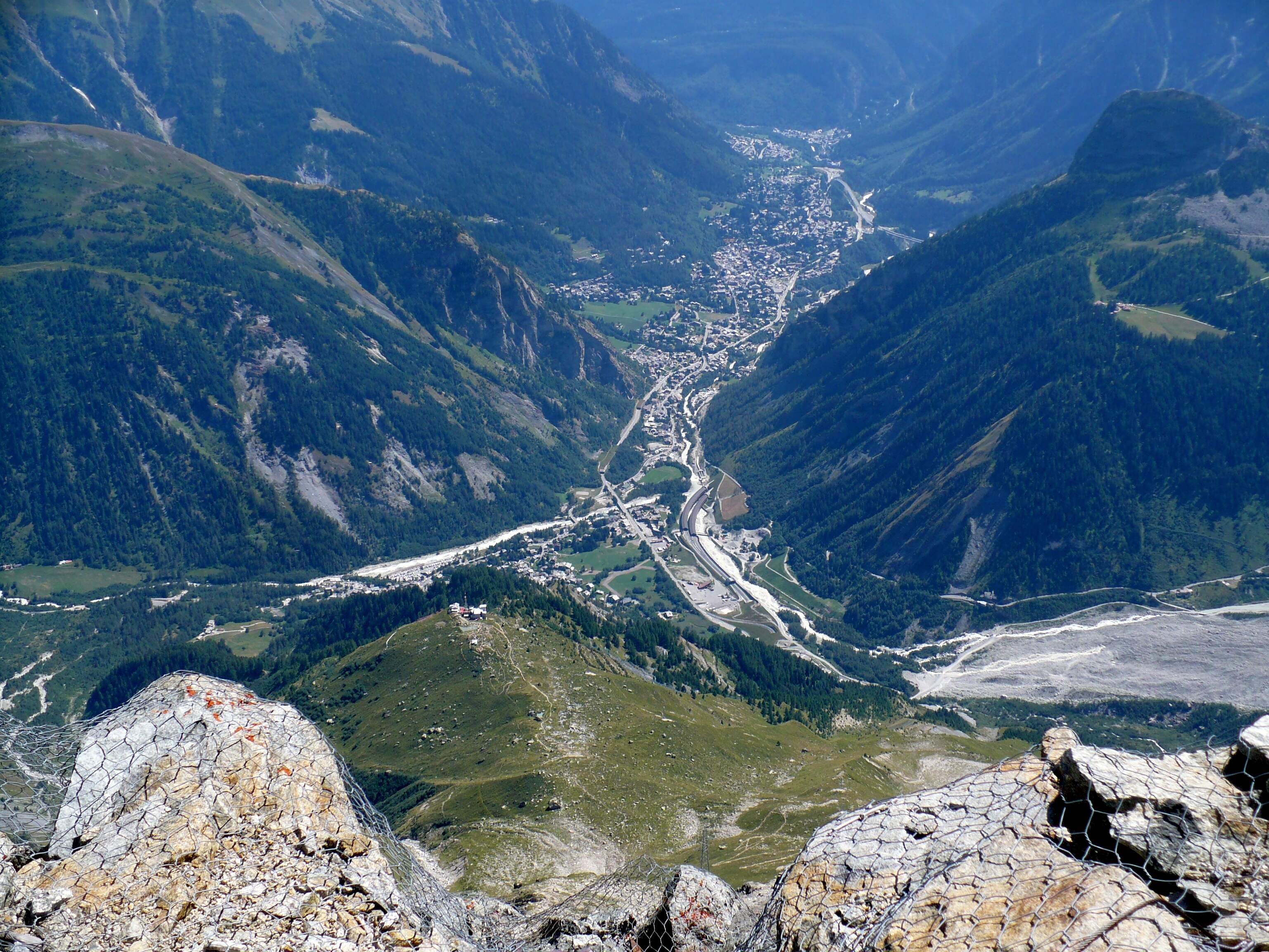
The view of Courmayeur from the slopes of Mont Blanc, also known as Monte Bianco.
While most ascents of Mont Blanc start from the French side of the border, the Aiguilles Grises route takes on a different perspective.
The route begins from Val Veny at 1,640 metres (5,381 feet), located just beyond the town of Courmayeur, Italy, which is better known as a skiing hub than a mountaineering town.
From Val Veny, climbers will make a 1,430-vertical-metre (4,690-foot) ascent up the Miage glacier to the Gonella refuge at 3,071 metres (10,075 feet).
While not technically difficult, the ascent is long, and the crevassed glacier means climbers must always be fully attentive, which makes it a mentally difficult route.
The second day begins early, with climbers quickly reaching the Dome glacier and traversing it to the Pitons des Italien ridge at 4,003 metres (13,133 feet). Climbers will follow the ridge, which becomes wider at the Col du Dome at 4,340 metres (14,239 feet).
Here, climbers cross the Dome glacier before arriving at the Vallot hut and following the Goûter Route to the summit.
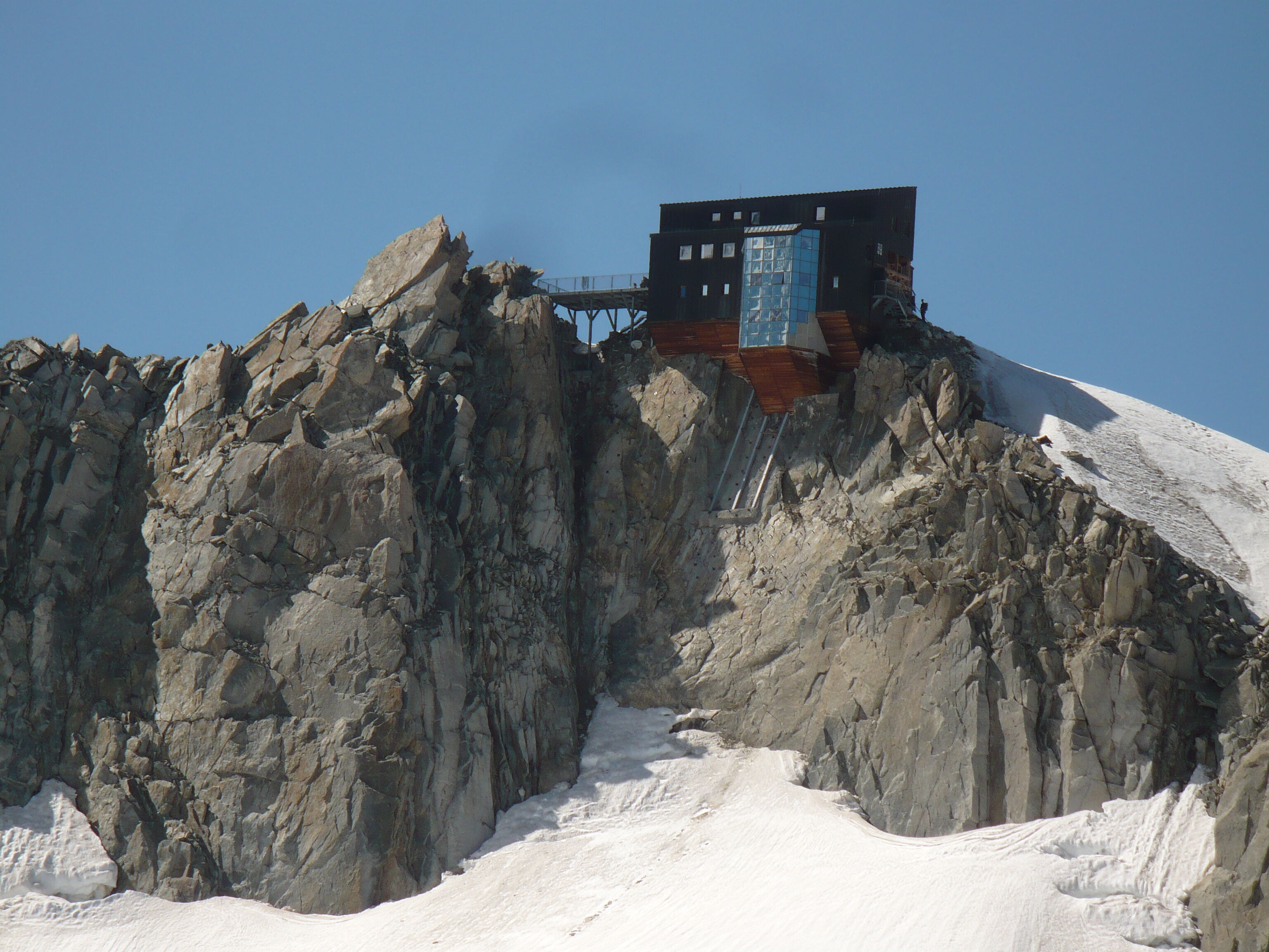
After enjoying the views from the top, the route descends the same way it came. Strong climbers may make it down to Courmayeur in one day. However, many opt to stop at the Gonella hut and make the final portion of the descent the following day.
Conclusion
Climbing Mont Blanc should be on every mountaineer's bucket list. Compare routes and begin planning your next alpine mountaineering adventure on ExpedReview today!